5:00 p.m. - All evacuations have been lifted and all roads are open. Please use the links below for fire status updates from the US Forest Service.
12:00 p.m. - Voluntary evacuations lifted. Mandatory evacuations downgraded to voluntary. See evacuation maps at https://nocoalert.org/. The Joint Information Center is closed. Visit https://inciweb.nwcg.gov/incident/7895/ for fire updates from the US Forest Service.
8:30 a.m. - USFS reports the fire grew minimally overnight, current size-up is 147 acres and 60% containment. No new evacuations or road closures. Visit https://larimer.org/kruger-rock-fire for details.
6:00 p.m. - Per the USFS, fire activity was low today. Current size 146 acres, 60% containment. Fire fighters will be on scene overnight. The Joint Information Center will open at 8 a.m. on Friday, November 19th. No new evacuations or road closures.
1:30 p.m. - We're seeking the public's assistance with the investigation of the recent crash of CO Fire Aviation's plane. LCSO is requesting any photos or videos taken of the CO Fire Aviation plane while engaged in wildfire operations in Estes Park on 11/16/2021. larimercso.evidence.com/axon/citizen/p…
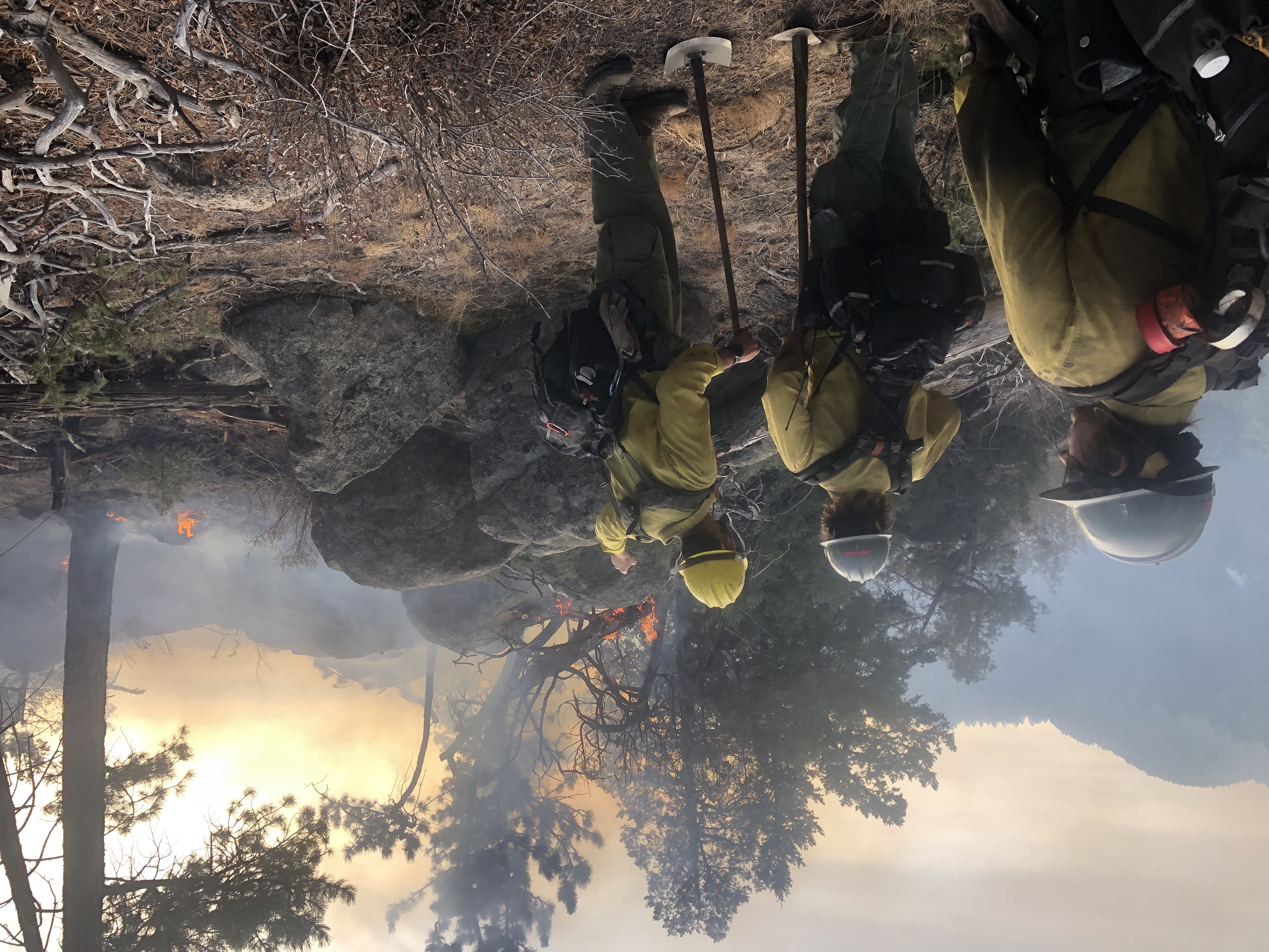
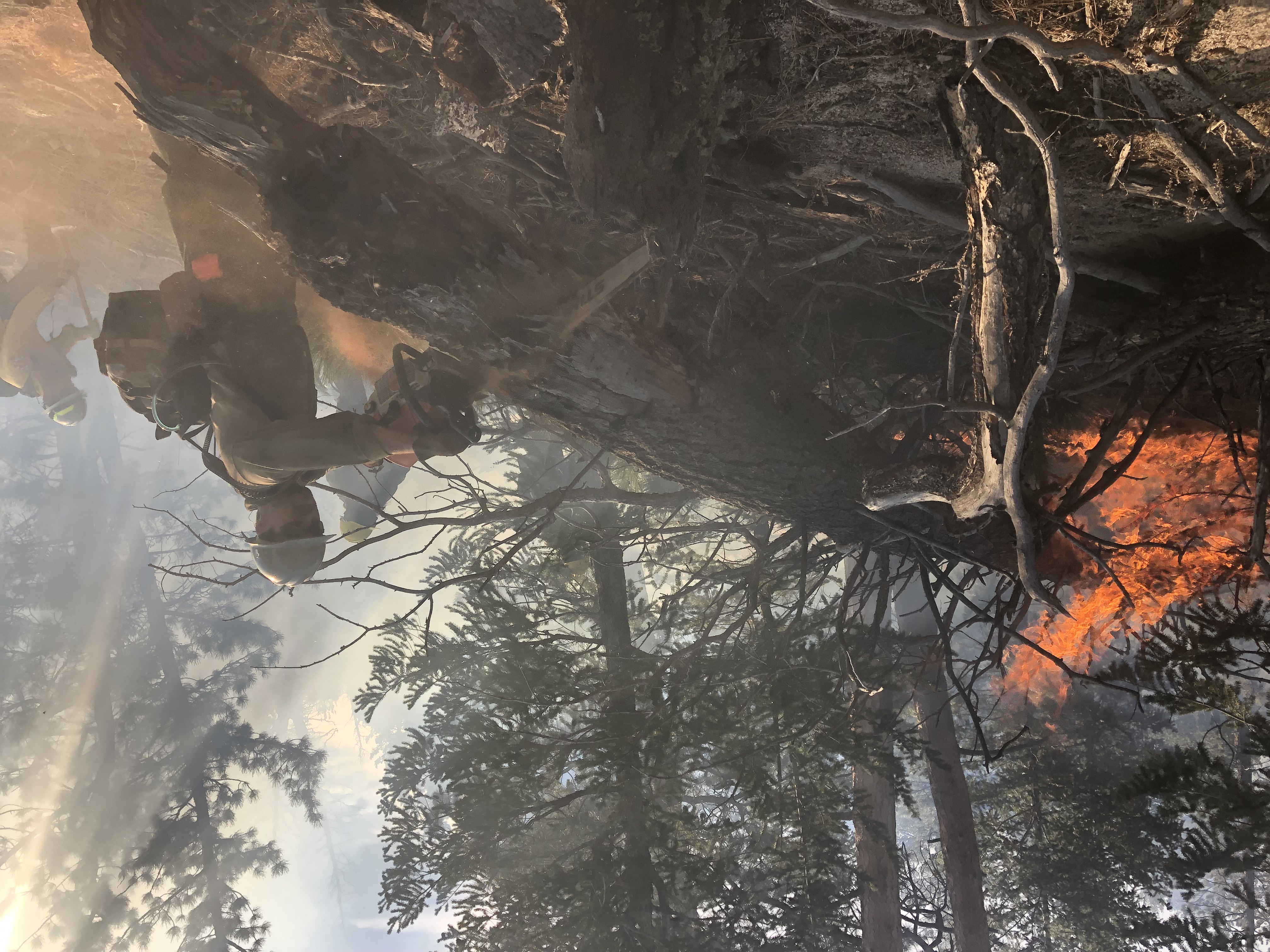
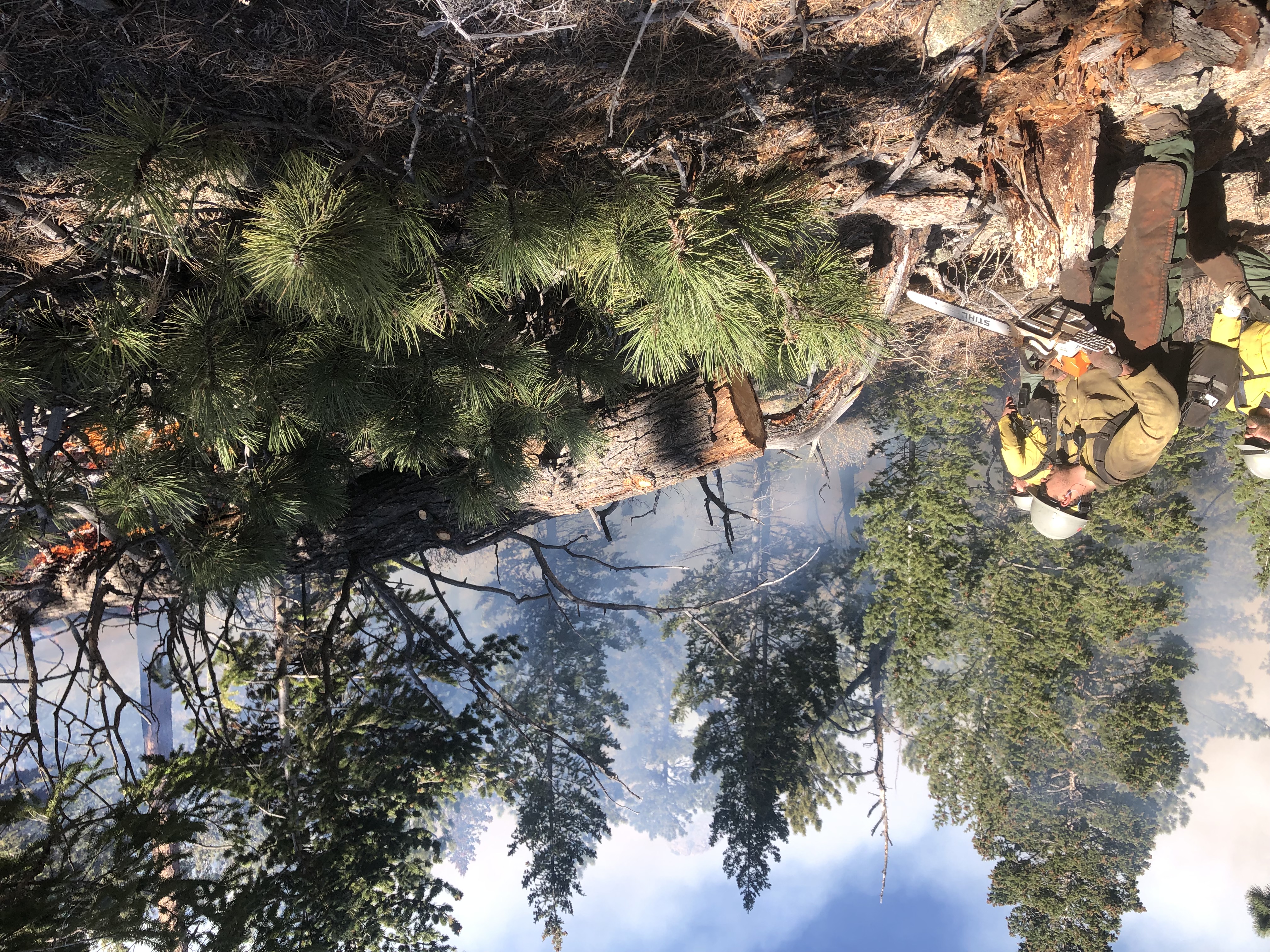
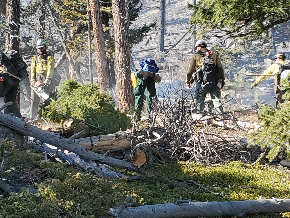
9:20 a.m. - USFS reports minimal fire activity overnight - 146 acres w/ 40% containment. There are 210 personnel on the fire this morning.
6:30 p.m. - Fire is approximately 133 acres with 15% containment. Crews will be on-scene and monitoring overnight. Fire fighting operations will resume tomorrow at 7:00am.
3:00 p.m. - Fire is approximately 115 acres with 11% containment. There are 150 personnel currently working the fire with more ordered.
1:20 p.m. - Fire is approximately 100 acres with zero containment.
11:49 a.m. - Colorado Highway 36 is closed at Mall Road in Estes Park and at Apple Valley Road, west of Lyons due to emergency operations for the fire.
9:45 a.m. - best estimate on size of the fire is 75 acres. Structures are threatened, but no reports of damage at this time.
9:15 a.m. - The fire was reported just before 7am near Little Valley Road and Fish Creek Road. Latest report (8am) is about 20 acres. The cause is unknown. Multiple evacuation orders in place - see Nocoalert map below for details. Evacuation site info below as well. MMA and other resources ordered.