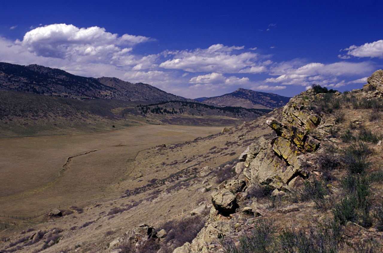
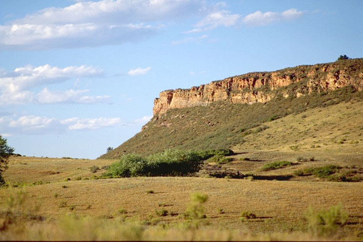
Rimrock Open Space
Nestled against the red cliffs south of Horsetooth Reservoir, this scenic open space includes a combination of fee simple acquisitions and conservation easements. Rimrock Open Space is open to the public and it is accessed through the City of Fort Collins Coyote Ridge Natural Area south of the Larimer County Landfill on Taft Hill (Ft. Collins) and/or Wilson Ave. (Loveland).
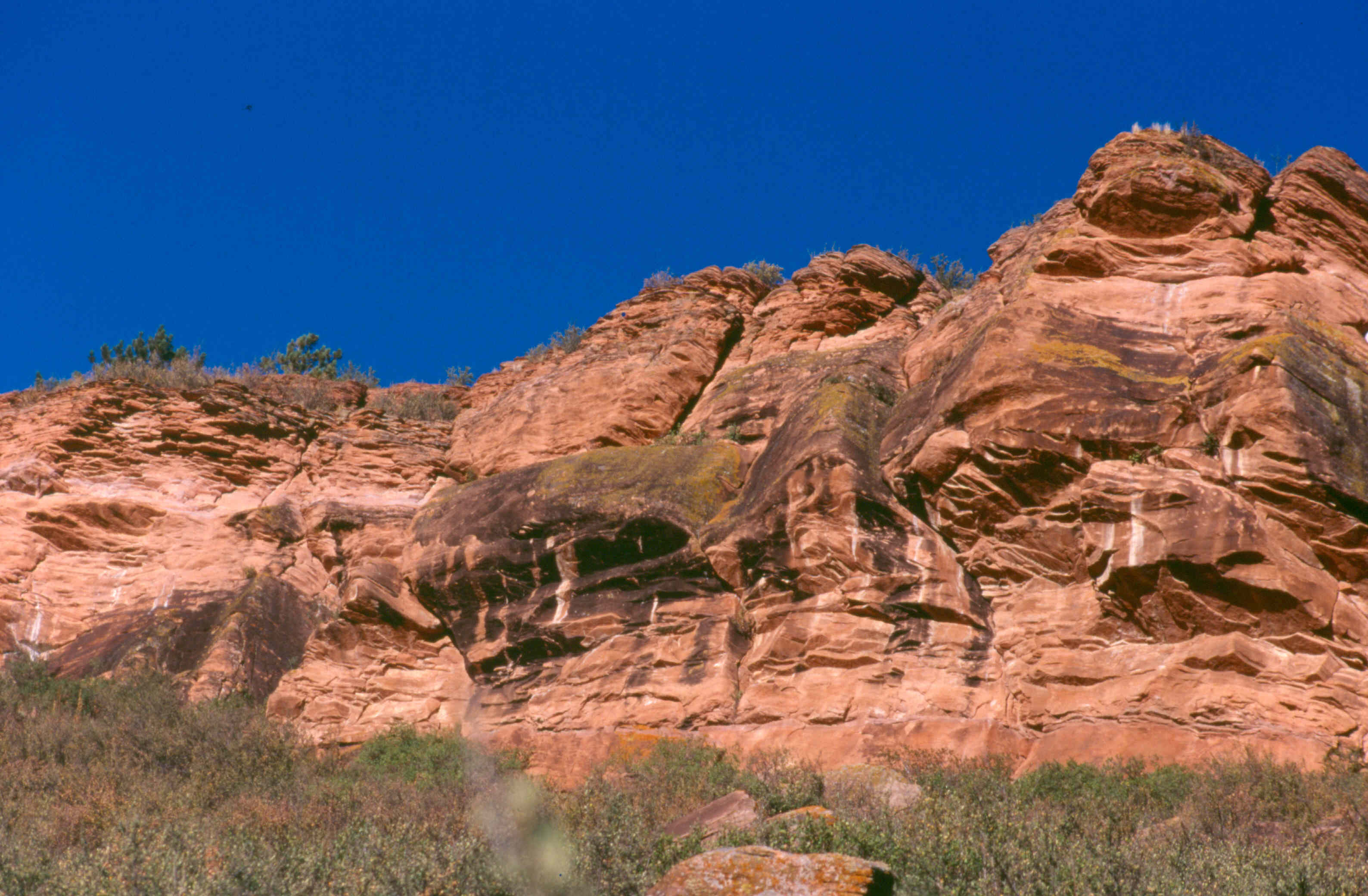
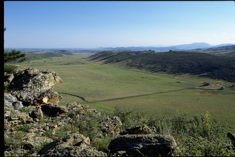
This area is important to protect because of the abundant wildlife found here. On any given day you can spot raptors circling overhead looking for a quick meal. Or, if you are particularly observant you will also be able to see telltale signs left by mule deer, rabbits, coyotes, and other mammals.
| Yes | No | Comments | |
|---|---|---|---|
| Permit Required | * | ||
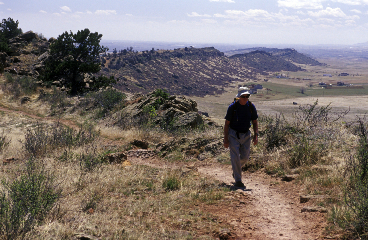
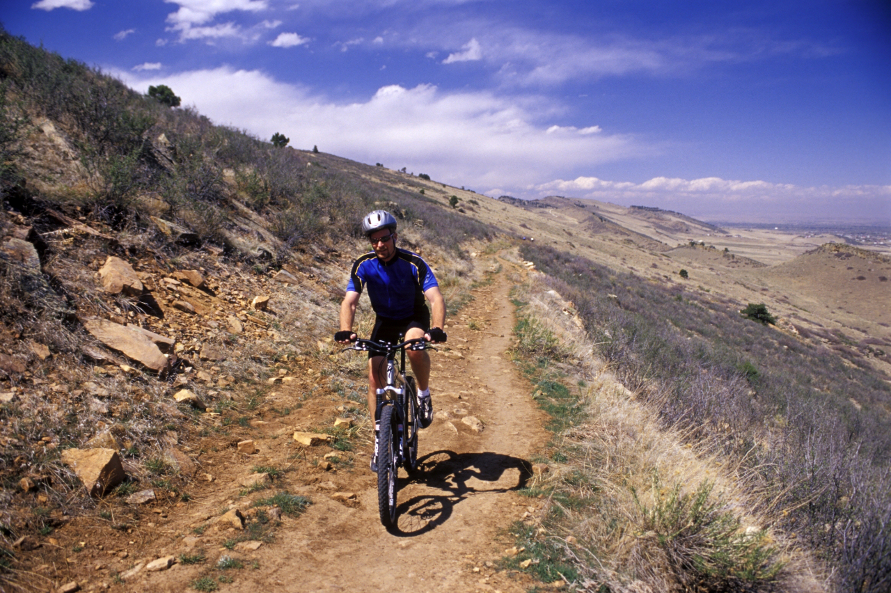
| Trails Trail Map | * | Moderate. There are some steep areas as the trail goes over the hogbacks. Four miles of trail (roundtrip) are located on this Open Space. This loop connects to the City of Fort Collins' Coyote Ridge Natural Area trail for a total of 7-miles of trail (roundtrip) from the Coyote Ridge trailhead. | |
| * | ||
| * | ||
| * | ||
| Restrooms | * | Located 1 mile from the trailhead at The Cabin. | |
| Drinking fountains | * | Located 1 mile from the trailhead at The Cabin. | |
| Dogs allowed | * |
This foothills open space features a 4 mile trail for hiking, mountain biking, and equestrian use which connects to Coyote Ridge Natural Area. Future use of this open space will include an additional 5 miles of trail that will be a section of the regional trail system from Lory State Park to the Devil's Backbone Open Space. The complete Rimrock Management Plan can be found online.
Click a photo to enlarge.
