Devil's Backbone Open Space
 Plan to arrive before 9am or after 3pm as the open space will likely reach capacity, especially on weekends in the summer. Check Colorado Trail Explorer (COTREX) at https://trails.colorado.gov for the most up-to-date trail conditions, closures, and alerts. Or check under the "Trails & Weather" tab below.
West of Loveland
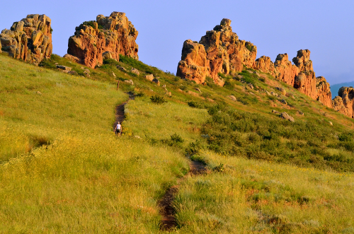
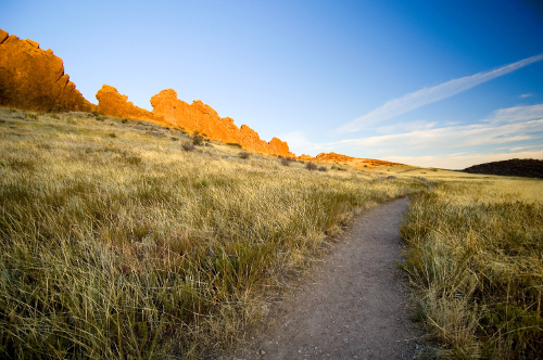
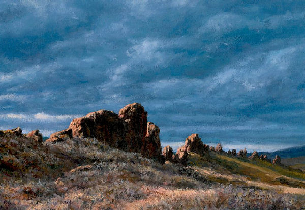
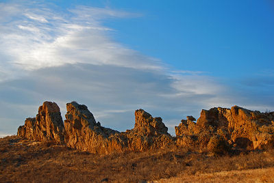
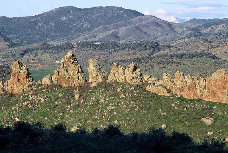
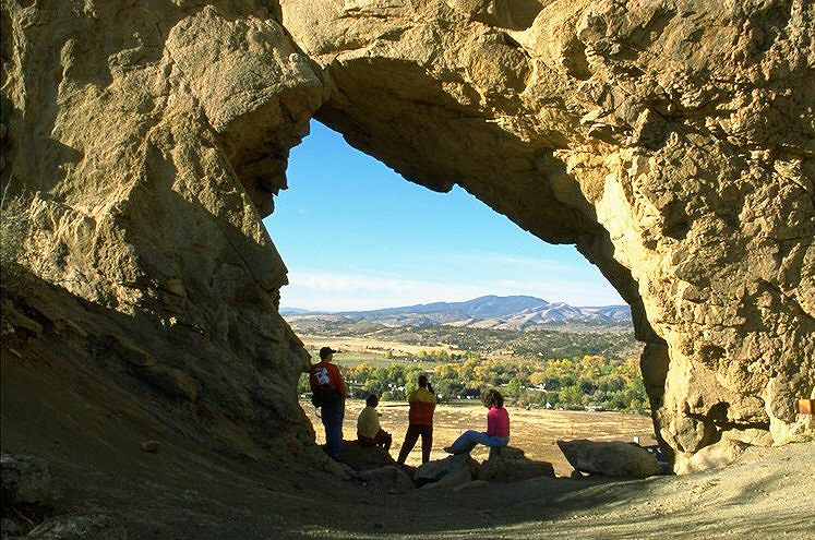
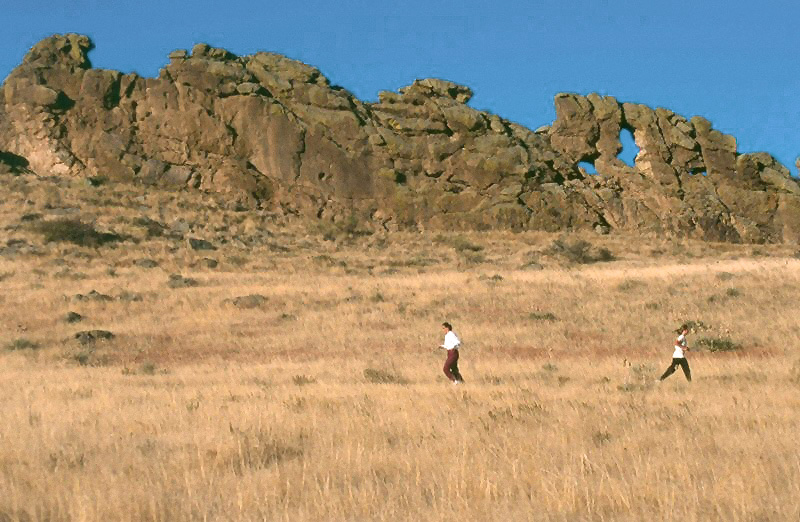
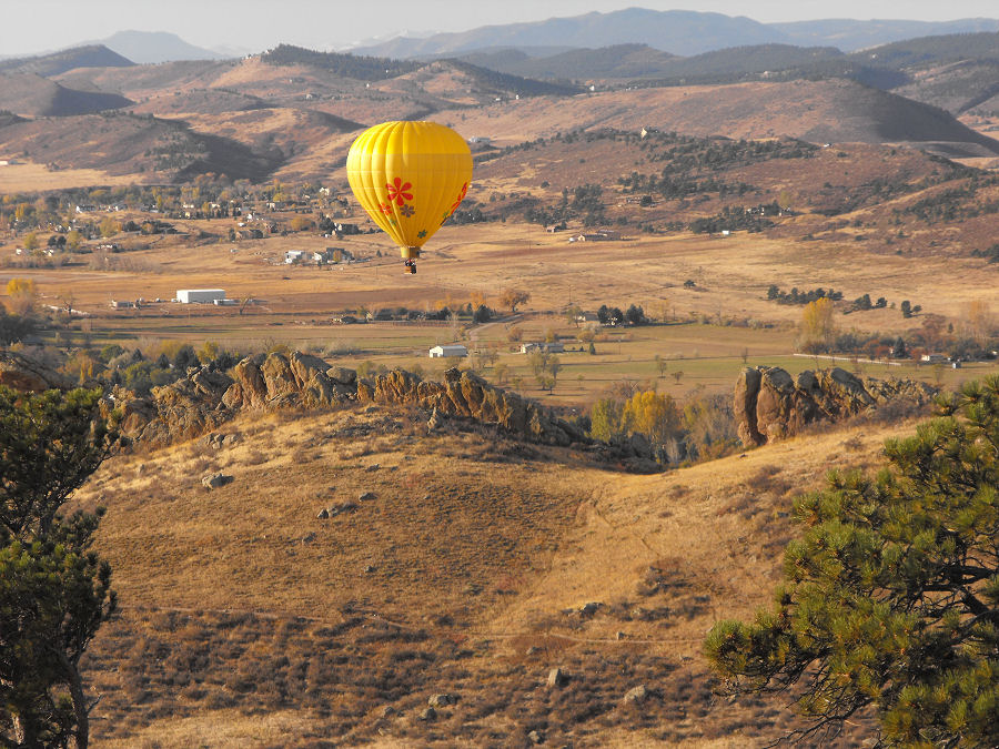
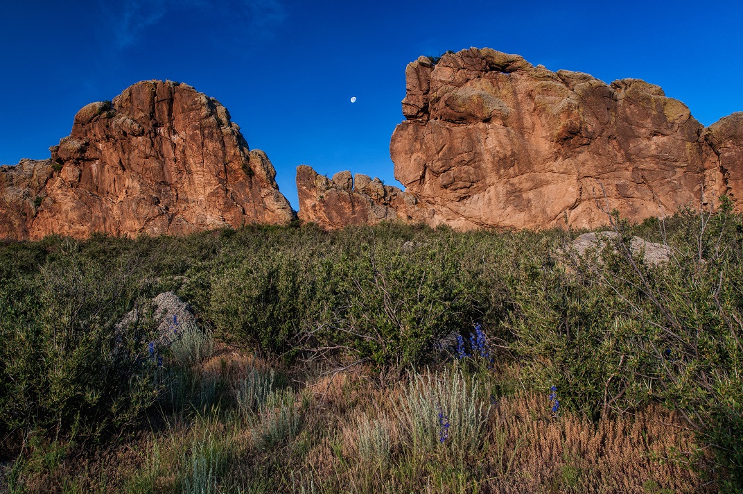
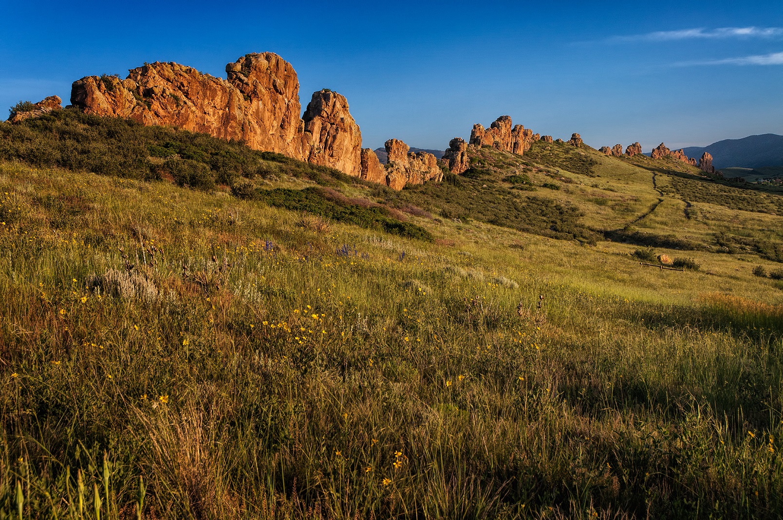
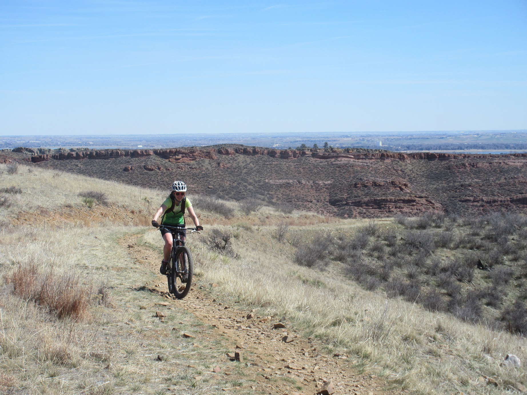
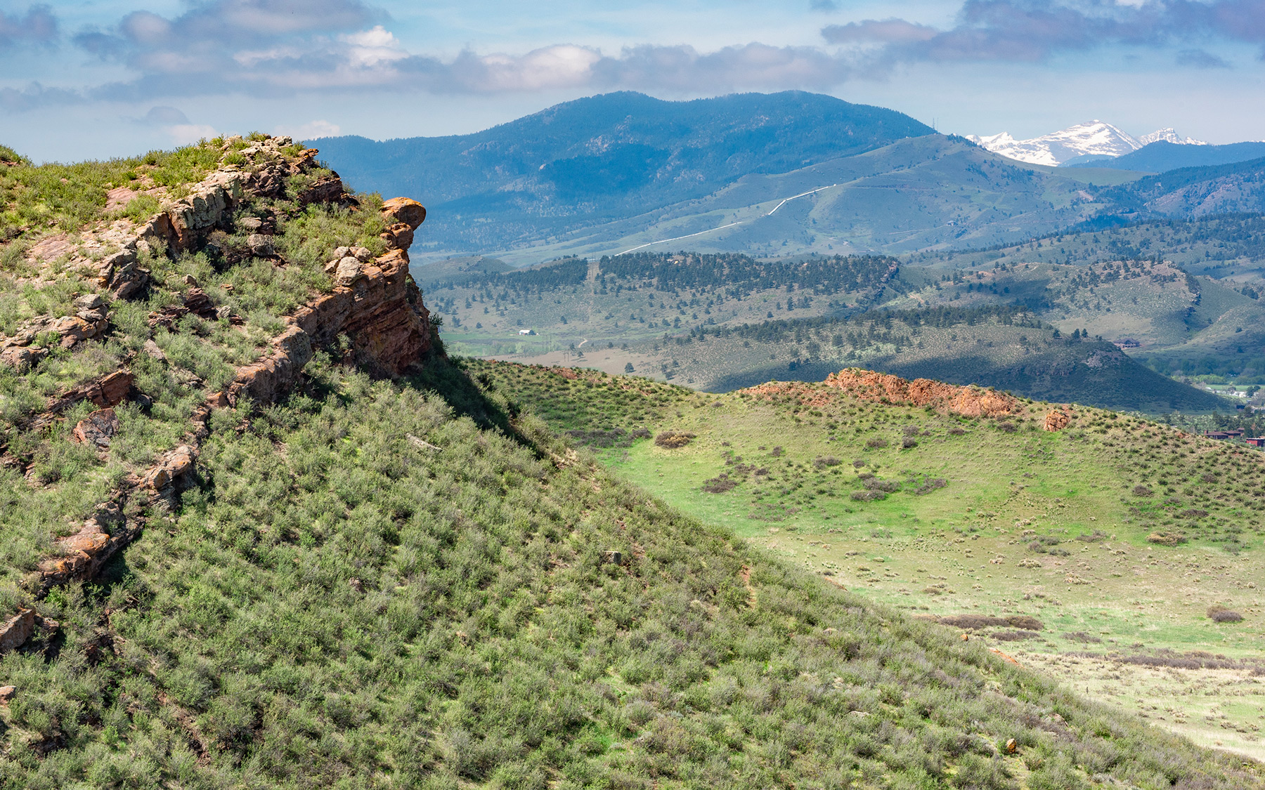
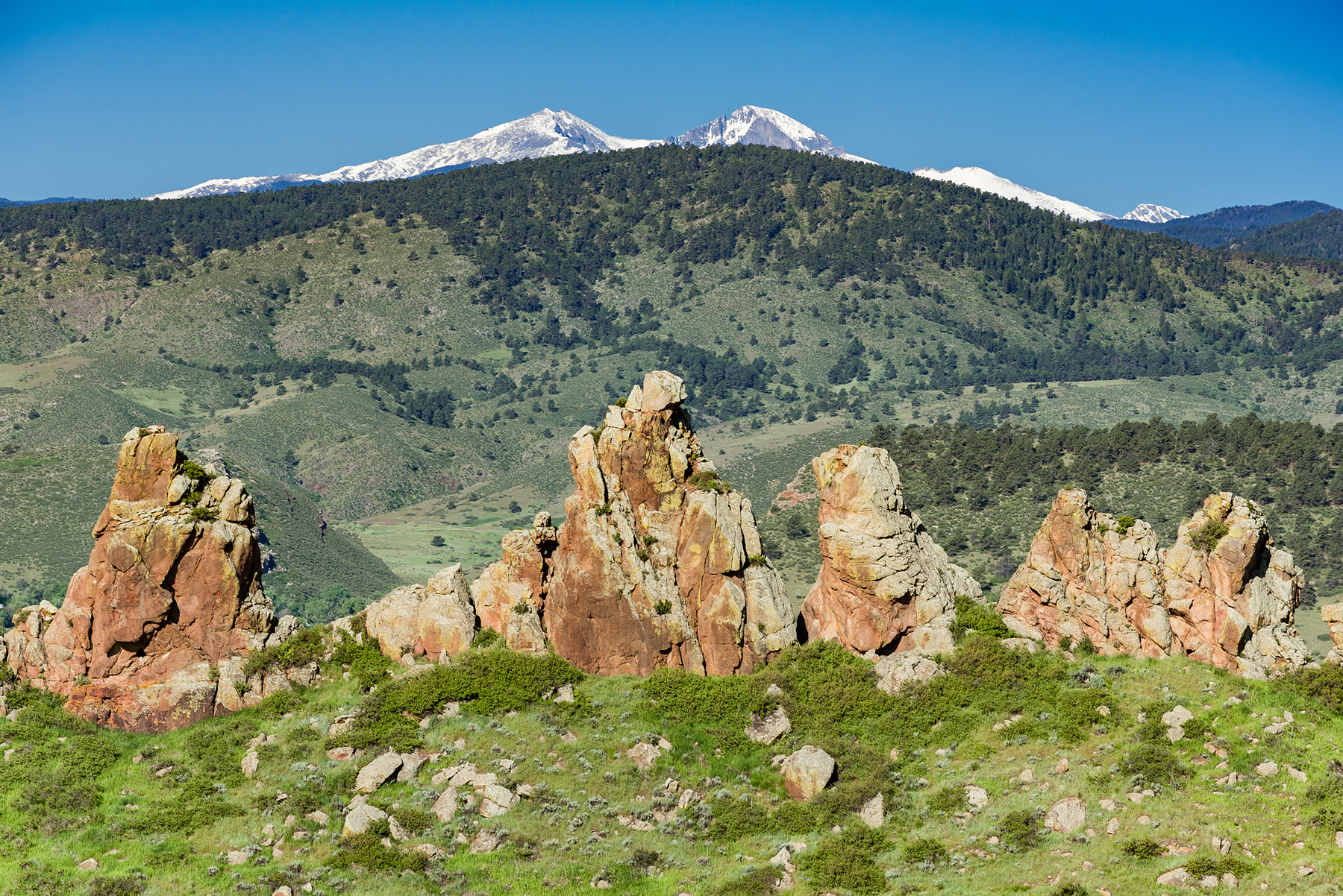
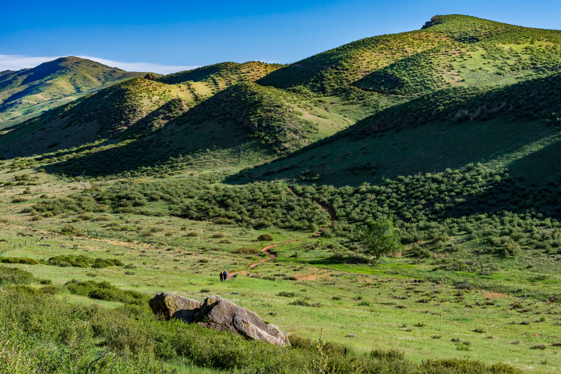
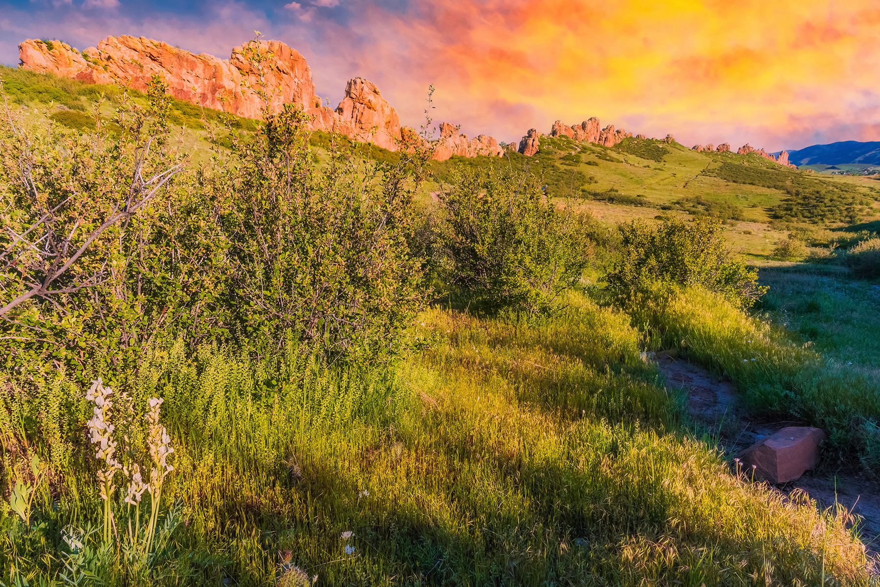
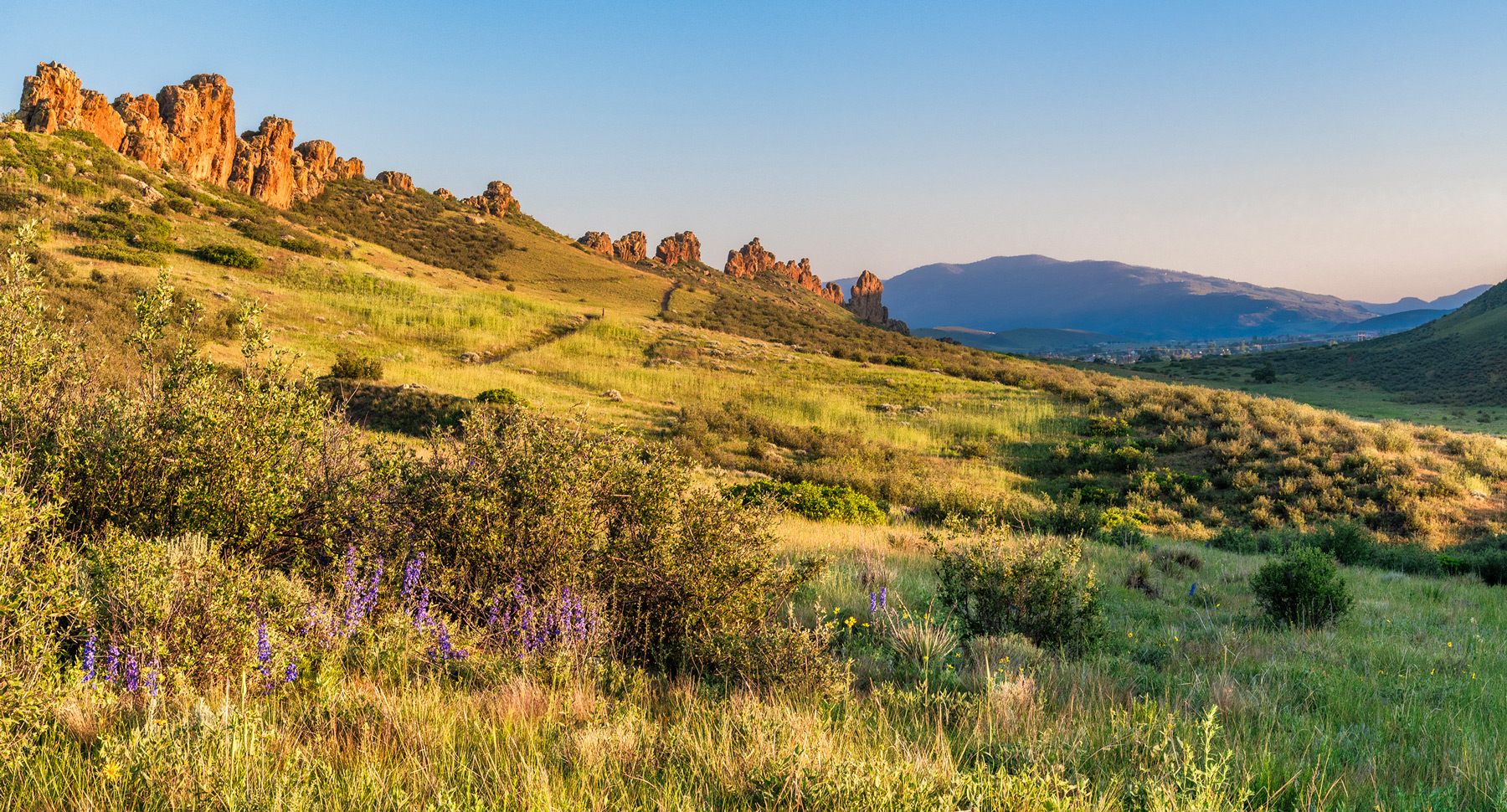
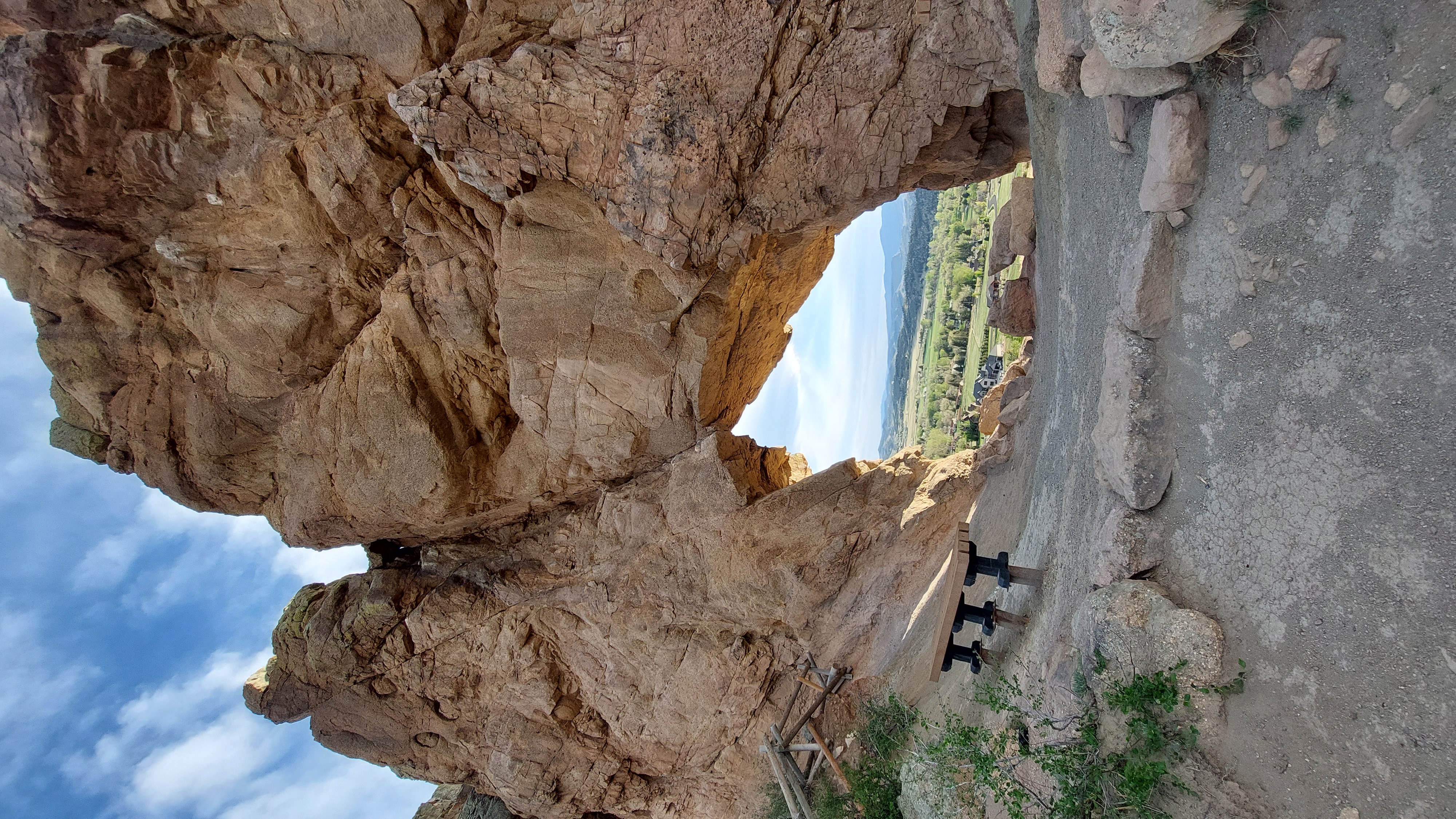
Red-tailed hawks soaring above, grasslands carpeted with wildflowers, towering rock formations - these are just some of the natural features to be enjoyed at the 3,007-acre Devil's Backbone Open Space. It has 17.25 miles of trail that connect to Rimrock Open Space and Horsetooth Mountain Open Space for hiking, running, horseback riding, mountain biking, wildlife viewing, observing nature, as well as enjoying close-up inspection of the rock outcrop and long vistas.
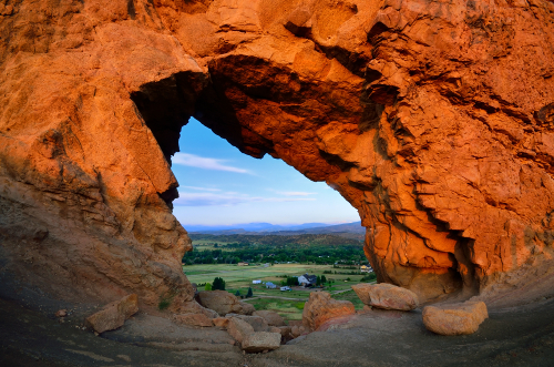
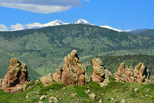
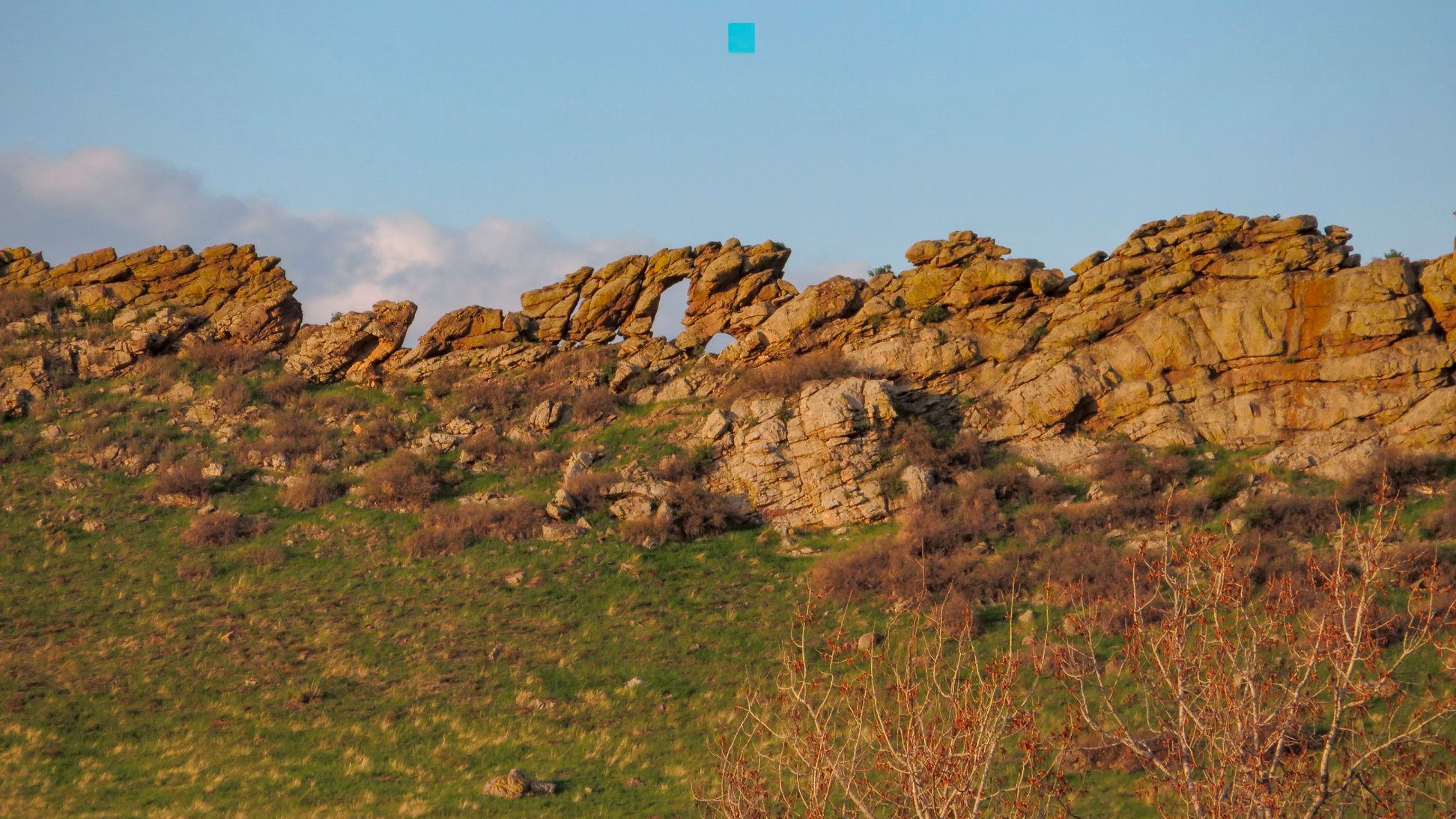
The Devil's Backbone itself is one of the most impressive and visible geologic landmarks in Larimer County showcasing:
- The Devil's Backbone is a geologic feature known as a "hogback", which forms when flat layers of sedimentary rock are bent into wave-like shapes and then eroded away unevenly, leaving a spine of a harder layer of rock sticking out almost vertically from the ground.
- This unusual vertical orientation of sedimentary rock (called the Dakota Group) was formed over 100 million years ago when sand and gravel were deposited along an ancient seashore.
- Some 50 million years later, this hogback, known as the Devil's Backbone, was steeply tilted by the same tectonic forces that created the Rocky Mountains.
- You can find 4 layers of sedimentary rock at Devil's Backbone Open Space representing different prehistoric eras.
Drinking water is available at the trailhead. Please carry enough for your hike or ride. This open space is popular. If you arrive to a full parking lot, that means trails are at maximum capacity. Please consider a different open space for the day and come back another time.
Devil's Backbone Open Space is open from sunrise to sunset and is located west of Loveland, Colorado.
Brochure Brochure (Spanish) Trail Map Entrance Permits Regulations
Features
Map & Directions
From Loveland:
- Take Highway 34 west of Loveland to just past mile marker #88 (2 miles west of the Jax). Turn right (north) onto Hidden Valley Drive just east of the old water tank. The trailhead is on your left.
From Denver:
- Take 1-25 north to Exit 257B (Highway 34 - Loveland). Drive west through Loveland and follow directions from above.
From Fort Collins:
- Take Taft Hill Road south from Fort Collins to U.S. Highway 34 (Eisenhower) and turn right (west). Proceed west on U.S. Highway 34 and follow directions from Loveland above.
Trails & Weather
Trails
List of All LC Trails
 Facebook
Twitter
Facebook
Twitter
Weather
Alerts from the National Weather Service:
Effective: | Onset: | Expires: | Ends:
Larimer County Emergency Department Alerts: View Sign Up for Email & Text Notifications
Weather
Weather
-Hour Forecast
° HI:
%
%
Precip: Precipitation Probability
Humid: Relative Humidity
Wind: Wind miles per hour & direction
Webcam

Check to see what the parking is like at Devil's Backbone Parking Lot before you come.
Parking for this popular open space is a challenge on holidays and weekends in particular. Visitors have the best chance of getting a space if they plan to arrive before 10 a.m. or after 4 p.m.
These images are refreshed every twenty minutes. Please be aware the availability of parking in the lot can change quickly.
For the latest trail conditions follow us on Twitter or find us on Facebook.

Photos
Click a photo to enlarge.
Regulations
For specifics, ask a ranger or see a kiosk for a copy of the Regulations.
- Rock is unstable. Rock climbing not allowed.
- Day use only. Closed sunset to sunrise.
- The gate at the trailhead typically opens by 6am year round and closes at sunset - please time your hike/ride accordingly.
- Pets must be kept on a leash at all times - DO NOT bring pets on trails during hot weather
- Stay on the trail to avoid and not disturb wildlife, including rattlesnakes.
- Drones are prohibited.
- E-bikes are prohibited on natural surface trails.
- Firearms, fires, fireworks, hunting and trapping are prohibited.
- Bike riders - Control your speed at all times and remember trail courtesy. Bikers yield to everyone.
Management Plan
A management plan for Devil's Backbone Open Space has been in place since 1999. It was updated with an extensive public process in 2014. The plan accommodates multiple-use recreation such as hiking, mountain biking, and horseback riding.
